Digital Horizons: The Role of GIS Mapping in Future Excavation Projects Mar 16, 2026
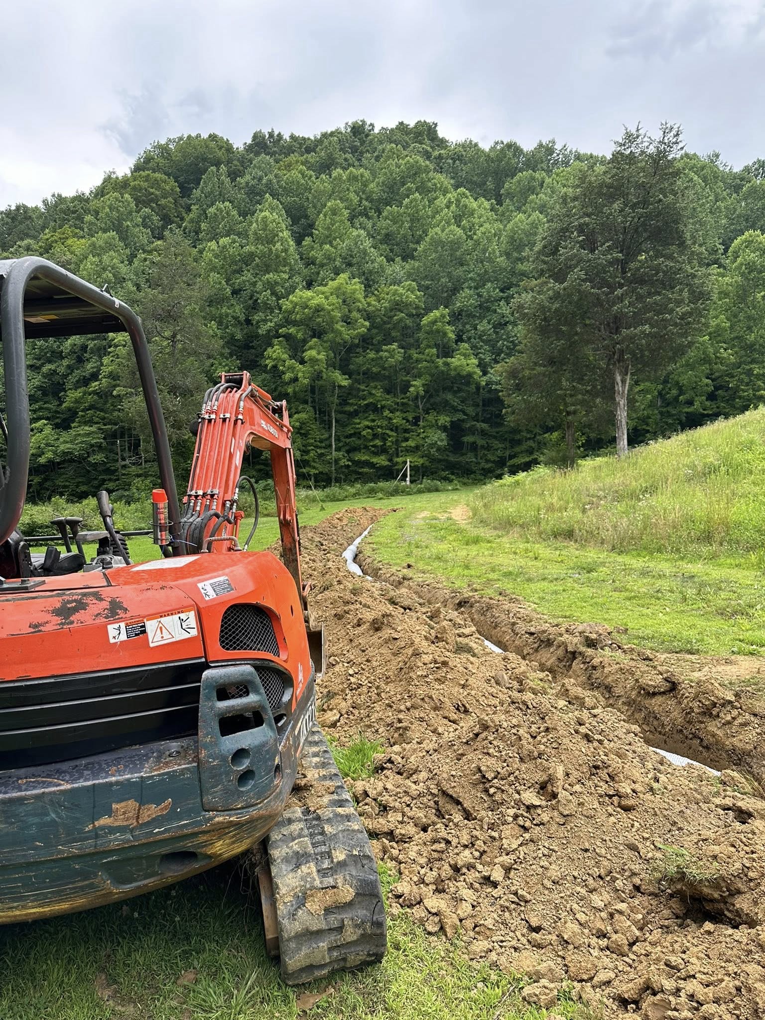
To kick things off, it's important to grasp the basic essence of GIS mapping. Geographic Information Systems are a powerful technology that allows for capturing, storing, analyzing, and managing spatial and geographic data. For an excavation company, this means having a birds-eye view of the terrain and underground features long before any physical digging begins. The insights gained from GIS mapping save time, reduce costs, and significantly improve the safety and accuracy of excavation projects.
GIS mapping plays a crucial role in site analysis and project planning. Before the first shovel hits the ground, it's vital to understand the area’s topography, geology, and existing infrastructure. GIS technology offers detailed maps and 3D models, giving excavation companies a comprehensive understanding of site specifics. This analysis helps in avoiding underground obstacles like pipes and cables, which can significantly hamper the progress of a project if encountered unexpectedly.
Moreover, GIS mapping enhances project efficiency by supporting meticulous planning. It allows excavation companies to develop informed strategies, predict potential issues, and tailor their approach accordingly. Detailed mapping data enables crews to optimize equipment usage, minimize operational downtime, and ensure projects stay on track and within budget. The precision provided by GIS mapping translates directly into fewer disruptions and smoother operations, ultimately leading to satisfied clients.
Safety is another paramount concern in excavation projects, and GIS mapping plays a significant role here as well. Having detailed, reliable geographical data allows excavation teams to anticipate and mitigate potential hazards, such as unstable soil conditions or challenging terrains. By forecasting these risks early, companies can implement tailored safety measures that protect their workers and the integrity of the site. This preemptive approach is invaluable in reducing accidents and reinforcing safe practices.
Beyond the immediate practical benefits, GIS mapping also paves the way for more sustainable excavation practices. By thoroughly understanding the geographic and environmental aspects of a site, excavation projects can be designed to minimize ecological impacts. GIS mapping helps in preserving natural landscapes by avoiding unnecessary disturbances and promoting more environmentally friendly excavation techniques.
As the demand for smarter, more efficient construction practices grows, the role of GIS mapping in excavation will only expand. For Excavation Innovations and other forward-thinking companies, embracing this technology will be key to staying ahead of the curve. By integrating GIS into every phase of a project—from initial analysis to execution—excavation companies can achieve greater precision, enhanced safety, and sustainable outcomes.
In conclusion, the future of excavation is deeply intertwined with digital advancements, and GIS mapping stands at the forefront of this evolution. By harnessing the power of spatial data, excavation companies can revolutionize their operations, offering clients innovative solutions, while ensuring projects are completed with superior quality and care. For a company like Excavation Innovations, adopting GIS mapping is not just about embracing new technology; it is about positioning for success in the digital age of construction.
/filters:no_upscale()/filters:format(webp)/media/14f0206d-8400-418b-9440-502974c65edd.jpeg)
/filters:no_upscale()/filters:format(webp)/media/7dc9553e-bef3-4839-b58c-c612218e67ef.jpeg)